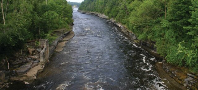
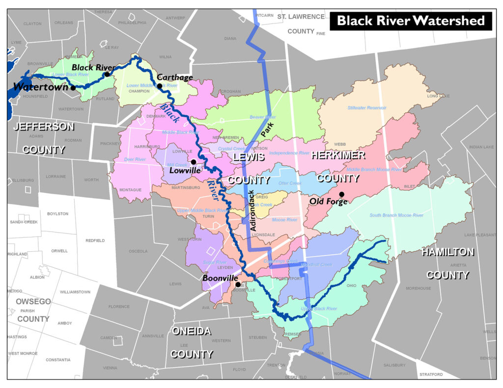
The Black River Watershed encompasses approximately 1.2 million acres in Hamilton, Herkimer, Jefferson, Lewis, and Oneida Counties. Elevations within the watershed range from 246 feet above mean sea level (msl) at the river’s mouth, to 3,771 feet msl in the Adirondack Mountains. The Black River watershed can be characterized roughly into three areas: wilderness in the Adirondack mountains, agricultural in Lewis County, and somewhat urbanized in Jefferson County. There is one city, 37 towns, and 18 villages in the watershed, many of which have signed a Memorandum of Understanding where they have agreed to work collaboratively to maintain and improve water quality.

Subwatersheds located at lower elevations are much more intensively developed than those at the higher elevations, which has serious implications for water quality. Lands owned by the NYSDEC account for almost 40 percent of the watershed, and more than 30 protected species are known to reside within the watershed. Long-term population trends in the watershed point towards an ongoing depopulation of the region, with the total population of the five watershed counties expected to decrease by almost seven percent from 2000 to 2020.


